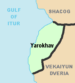
File:Autonomous Krai of Yarokhav Political Map.png
From NSWiki
No higher resolution available.
Autonomous_Krai_of_Yarokhav_Political_Map.png (256 × 283 pixels, file size: 4 KB, MIME type: image/png)
File history
Click on a date/time to view the file as it appeared at that time.
| Date/Time | Thumbnail | Dimensions | User | Comment | |
|---|---|---|---|---|---|
| current | 23:04, 9 July 2014 | | 256 × 283 (4 KB) | Southern Yugoslavia (Talk | contribs) | |
| 23:00, 9 July 2014 | 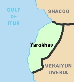 | 256 × 283 (3 KB) | Southern Yugoslavia (Talk | contribs) |
- You cannot overwrite this file.
File usage
There are no pages that link to this file.
