File:Map of Antactica.png
From NSWiki

Size of this preview: 610 × 600 pixels. Other resolution: 782 × 769 pixels.
Original file (782 × 769 pixels, file size: 13 KB, MIME type: image/png)
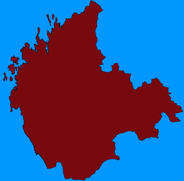
Map of the United Territories of Antactica
File history
Click on a date/time to view the file as it appeared at that time.
| Date/Time | Thumbnail | Dimensions | User | Comment | |
|---|---|---|---|---|---|
| current | 16:49, 2 March 2016 | | 782 × 769 (13 KB) | Antactica (Talk | contribs) | Map of the United Territories of Antactica |
- You cannot overwrite this file.
File usage
The following page links to this file:
