File:Morstopackia wiki map.png
From NSWiki
Size of this preview: 494 × 600 pixels. Other resolution: 1,641 × 1,993 pixels.
Original file (1,641 × 1,993 pixels, file size: 113 KB, MIME type: image/png)
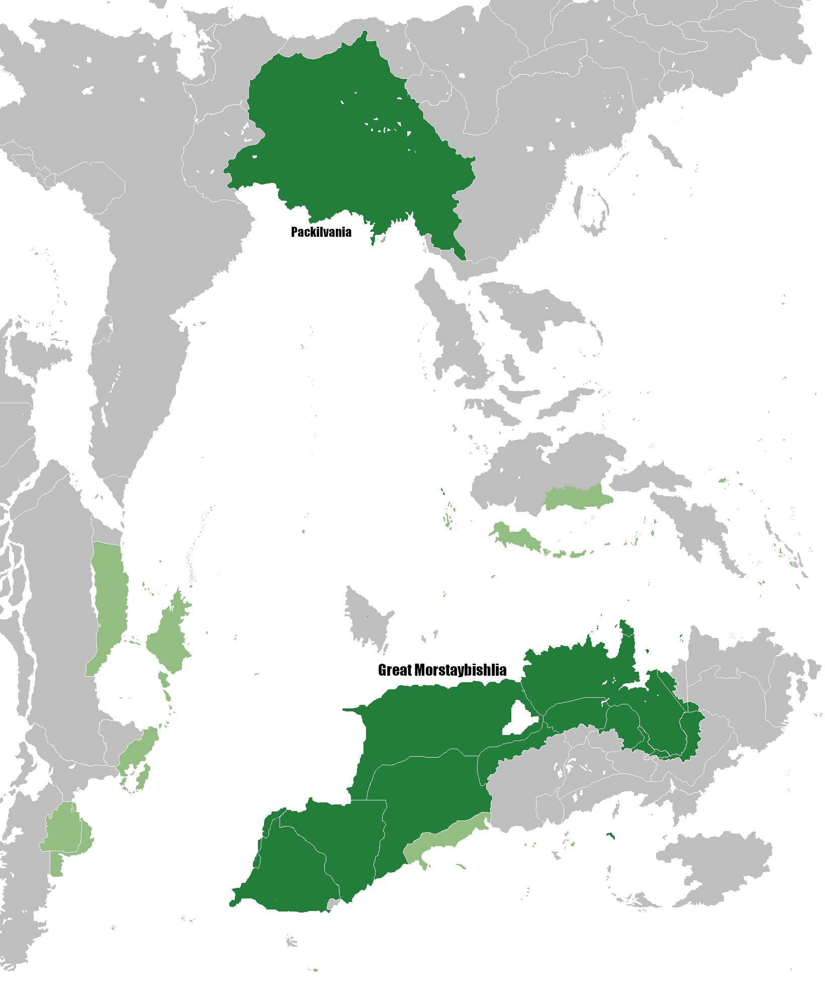
Map showing Great Morstaybishlia and Packilvania during their 20 year union period.
File history
Click on a date/time to view the file as it appeared at that time.
| Date/Time | Thumbnail | Dimensions | User | Comment | |
|---|---|---|---|---|---|
| current | 10:38, 6 August 2019 | | 1,641 × 1,993 (113 KB) | Staynes (Talk | contribs) | Map showing Great Morstaybishlia and Packilvania during their 20 year union period. |
- You cannot overwrite this file.
File usage
The following 2 pages link to this file:
