File:NE Map.png
From NSWiki

Size of this preview: 500 × 600 pixels. Other resolution: 1,023 × 1,227 pixels.
Original file (1,023 × 1,227 pixels, file size: 60 KB, MIME type: image/png)
Map of New England confederation
File history
Click on a date/time to view the file as it appeared at that time.
| Date/Time | Thumbnail | Dimensions | User | Comment | |
|---|---|---|---|---|---|
| current | 10:56, 20 October 2014 | | 1,023 × 1,227 (60 KB) | New-Hampshire (Talk | contribs) | |
| 15:36, 19 October 2014 |  | 1,023 × 1,227 (59 KB) | New-Hampshire (Talk | contribs) | ||
| 15:18, 19 October 2014 | 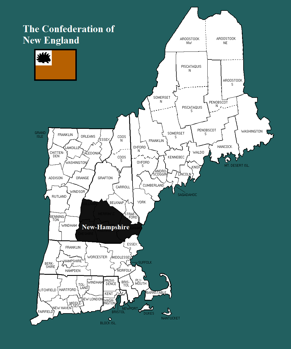 | 1,023 × 1,227 (57 KB) | New-Hampshire (Talk | contribs) | ||
| 15:07, 19 October 2014 |  | 1,023 × 1,227 (57 KB) | New-Hampshire (Talk | contribs) | Map of New England confederation |
- You cannot overwrite this file.
File usage
There are no pages that link to this file.
