File:Political map of Tarper.png
From NSWiki

Size of this preview: 800 × 450 pixels. Other resolution: 1,920 × 1,080 pixels.
Original file (1,920 × 1,080 pixels, file size: 352 KB, MIME type: image/png)
This the map of tarper and its states and city states
File history
Click on a date/time to view the file as it appeared at that time.
| Date/Time | Thumbnail | Dimensions | User | Comment | |
|---|---|---|---|---|---|
| current | 00:55, 21 August 2017 | | 1,920 × 1,080 (352 KB) | Tarper (Talk | contribs) | will be left as a second variation |
| 00:14, 21 August 2017 | 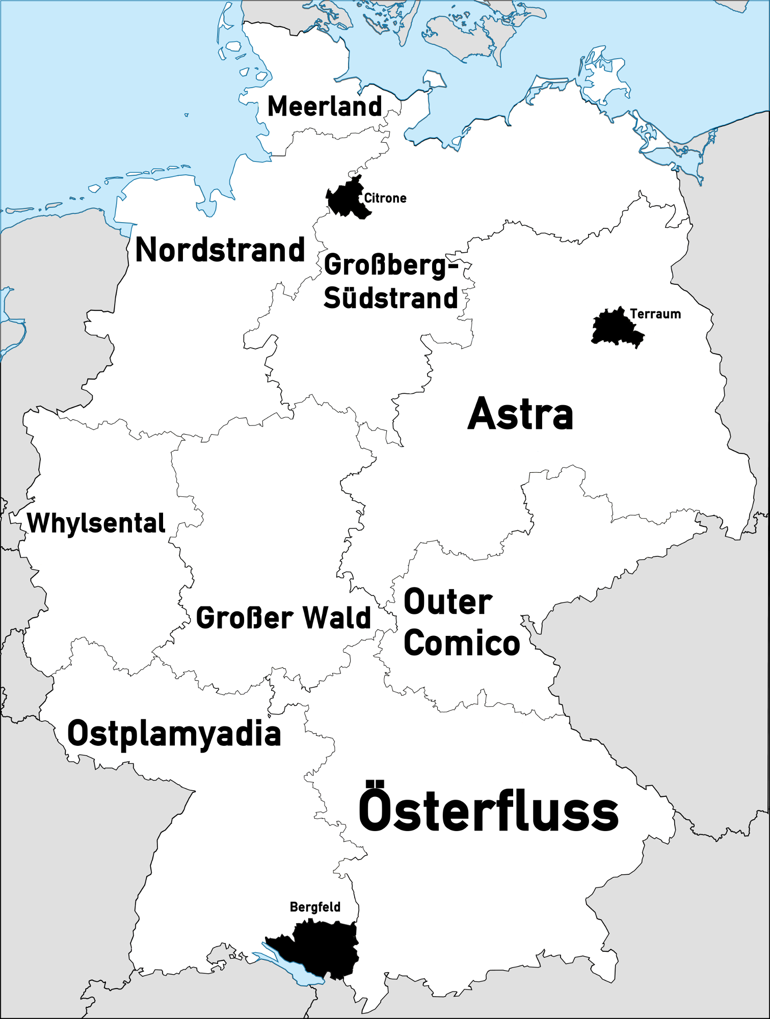 | 1,511 × 2,000 (556 KB) | Tarper (Talk | contribs) | No longer in a made up world, now Tarper is Germany. | |
| 20:02, 11 April 2017 | 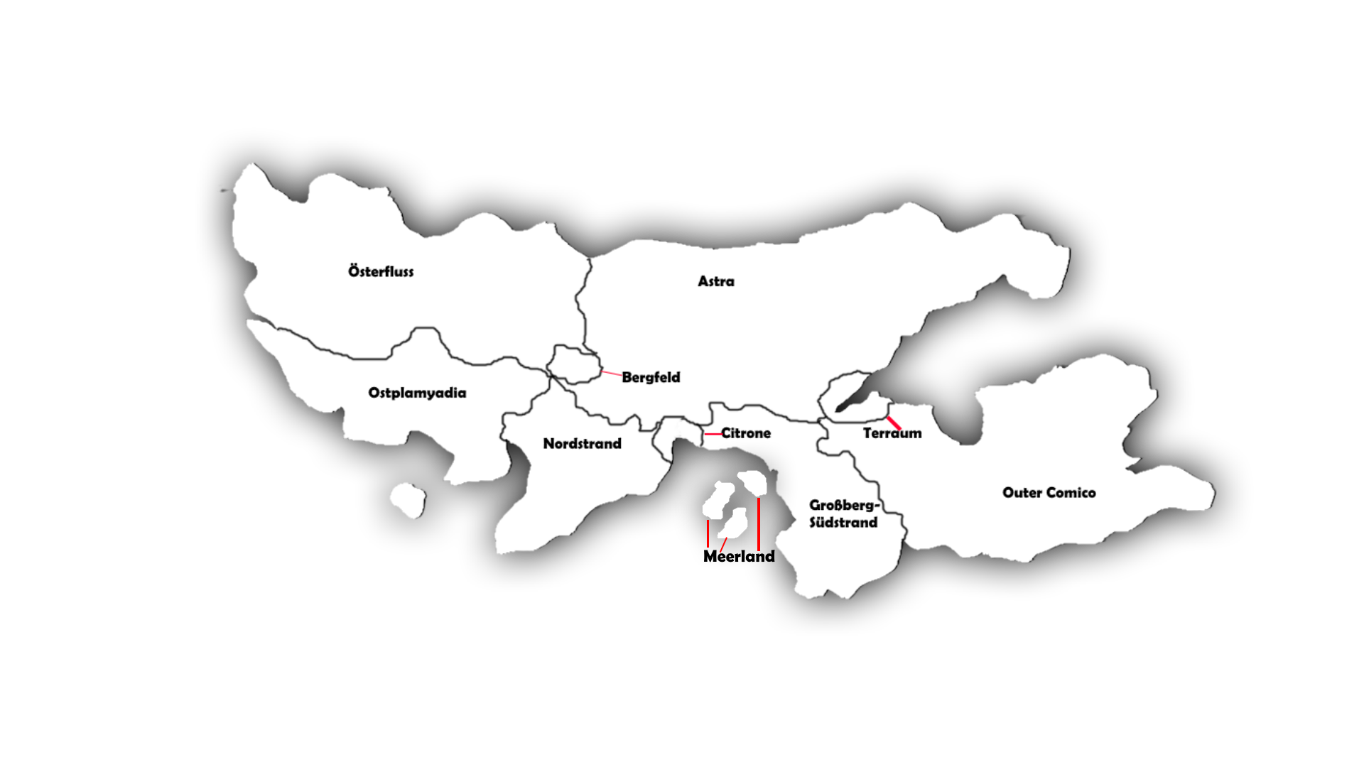 | 1,920 × 1,080 (352 KB) | Tarper (Talk | contribs) | This the map of tarper and its states and city states |
- You cannot overwrite this file.
File usage
There are no pages that link to this file.
