File:WaltcGeoRegions.png
From NSWiki
Size of this preview: 800 × 469 pixels. Other resolution: 3,658 × 2,143 pixels.
Original file (3,658 × 2,143 pixels, file size: 312 KB, MIME type: image/png)
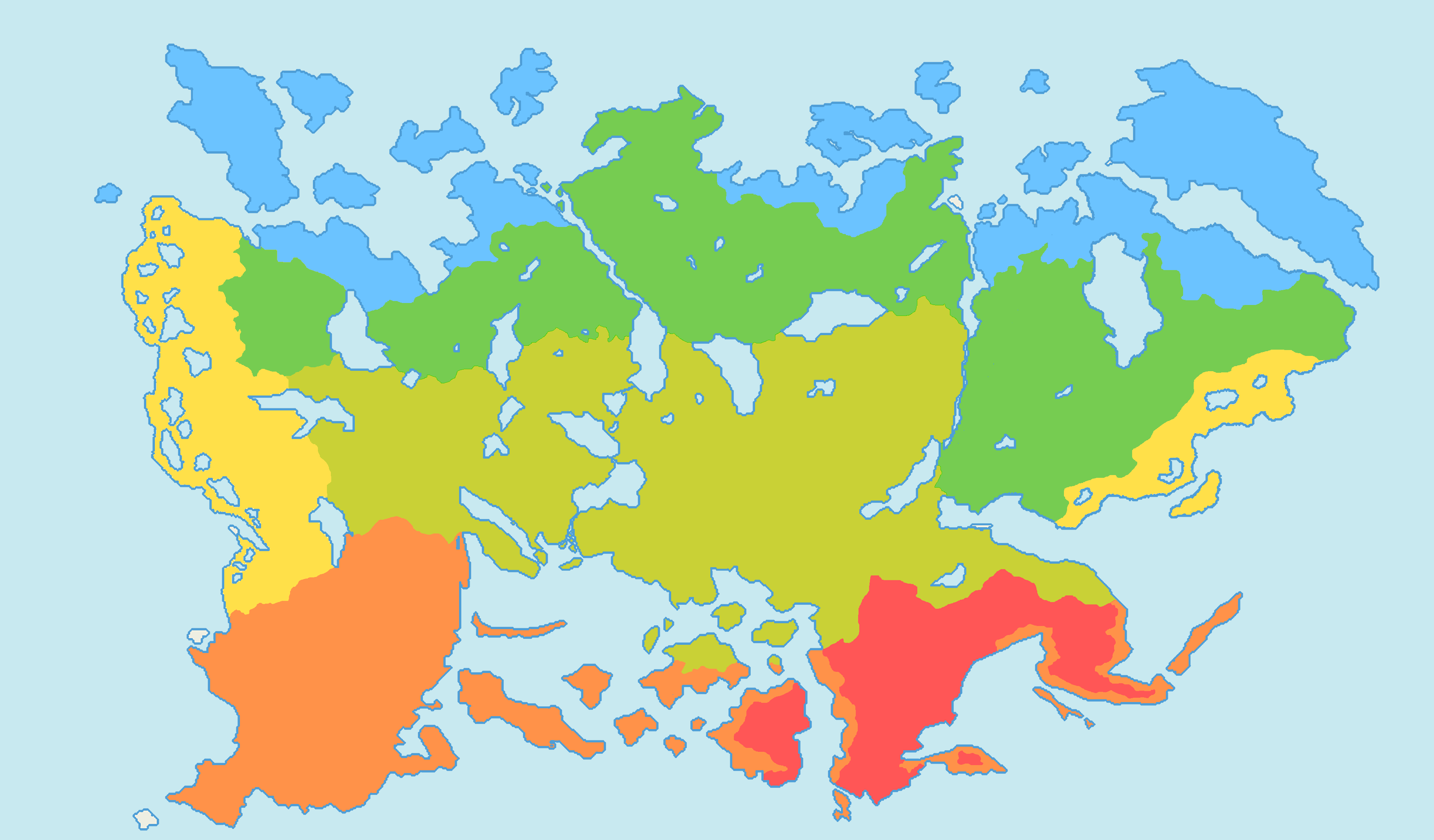
Map of various geo-climatic regions found in Idreiga.
File history
Click on a date/time to view the file as it appeared at that time.
| Date/Time | Thumbnail | Dimensions | User | Comment | |
|---|---|---|---|---|---|
| current | 20:20, 12 July 2017 | | 3,658 × 2,143 (312 KB) | Nordwalsh (Talk | contribs) | Map of various geo-climatic regions found in Idreiga. |
- You cannot overwrite this file.
File usage
The following page links to this file:
