File:Urthmap.png
From NSWiki

Size of this preview: 800 × 544 pixels. Other resolution: 4,053 × 2,757 pixels.
Original file (4,053 × 2,757 pixels, file size: 817 KB, MIME type: image/png)
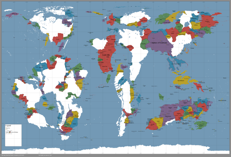
A political map of the Urth. The official version is here.
File history
Click on a date/time to view the file as it appeared at that time.
| Date/Time | Thumbnail | Dimensions | User | Comment | |
|---|---|---|---|---|---|
| current | 09:07, 8 August 2019 | | 4,053 × 2,757 (817 KB) | Tuvaltastan (Talk | contribs) | Reverted to version as of 22:42, 5 August 2019 |
| 18:47, 5 August 2019 |  | 202 × 184 (3 KB) | Encurage (Talk | contribs) | ||
| 18:42, 5 August 2019 |  | 4,053 × 2,757 (817 KB) | Tuvaltastan (Talk | contribs) | ||
| 16:56, 17 December 2018 |  | 4,053 × 2,757 (944 KB) | Kyrloth (Talk | contribs) | ||
| 21:12, 25 April 2017 | 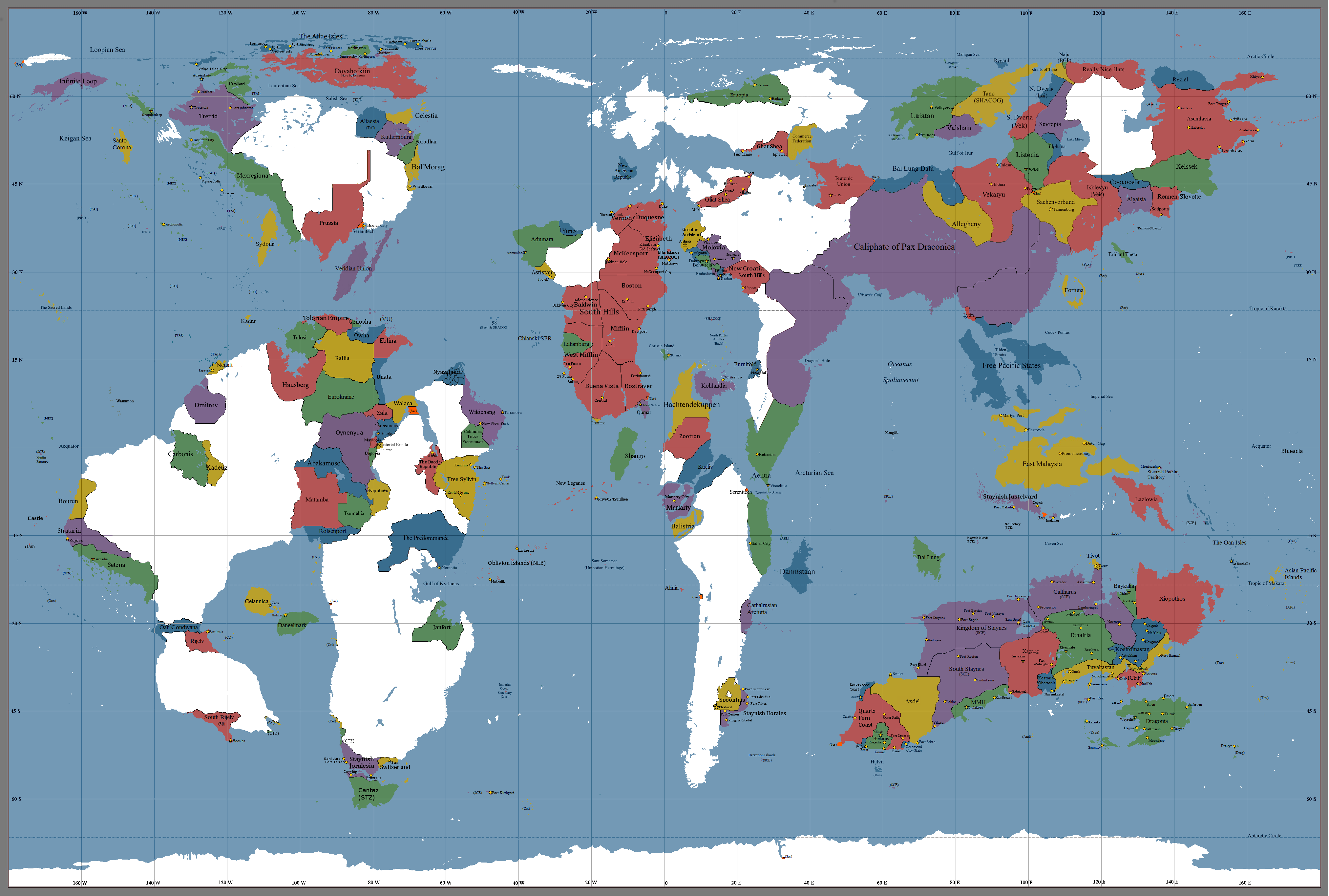 | 4,050 × 2,730 (1,023 KB) | Tretrid (Talk | contribs) | ||
| 08:18, 15 February 2017 | 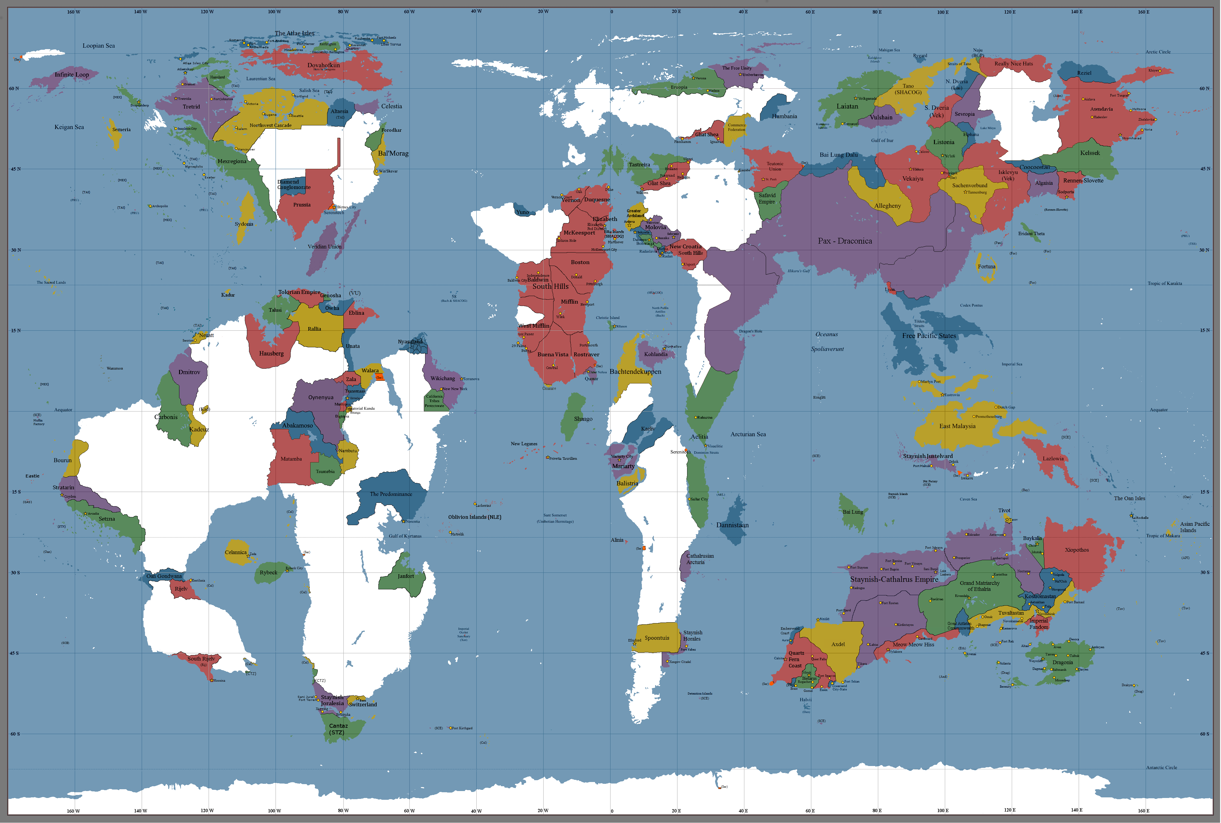 | 4,050 × 2,730 (1,008 KB) | Staynes (Talk | contribs) | ||
| 21:48, 17 December 2016 | 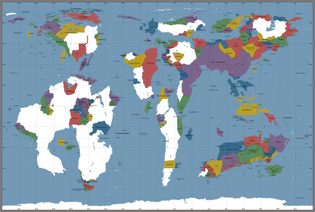 | 1,013 × 682 (406 KB) | Tretrid (Talk | contribs) | Updated. | |
| 21:48, 20 November 2016 | 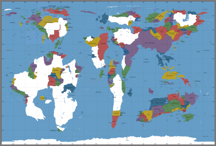 | 728 × 491 (220 KB) | Tretrid (Talk | contribs) | The map got updated, as seen [http://s2.zetaboards.com/The_East_Pacific/single/?p=10007212&t=5231687 here]. | |
| 22:21, 15 November 2016 |  | 1,013 × 683 (460 KB) | Tretrid (Talk | contribs) | Reverted to version as of 03:31, 15 November 2016 | |
| 23:35, 14 November 2016 | 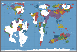 | 254 × 171 (61 KB) | Tretrid (Talk | contribs) | Shrunk the size. | |
| 23:31, 14 November 2016 |  | 1,013 × 683 (460 KB) | Tretrid (Talk | contribs) | A political map of the Urth. |
- You cannot overwrite this file.
File usage
The following 3 pages link to this file:
