Difference between revisions of "Chartist Federation"
| Line 42: | Line 42: | ||
|established_event3 = Declaration of the Chartist Federation | |established_event3 = Declaration of the Chartist Federation | ||
|established_date3 = 1<sup>st</sup> May 2016 | |established_date3 = 1<sup>st</sup> May 2016 | ||
| − | |area_km2 = | + | |area_km2 = 229,767<sup>c</sup> |
| − | |area_sq_mi = | + | |area_sq_mi = 88,715 |
|percent_water = 1.30% | |percent_water = 1.30% | ||
|population_estimate = 62,262,000 | |population_estimate = 62,262,000 | ||
| Line 78: | Line 78: | ||
|footnote_c = The land area given includes all 7 Union Republics, the Autonomous Union Republic and the City of London. | |footnote_c = The land area given includes all 7 Union Republics, the Autonomous Union Republic and the City of London. | ||
}} | }} | ||
| − | The '''Federation of Chartist Socialist Republics''' (also called the '''Chartist Federation''', '''Britain''', '''C.F.''', or '''F.C.S.R.''') is a [[Federation|federal]] [[socialist|socialist]] [[republic]] comprising 8 Union Republics, one federal district and [[Isle of Man Autonomous Socialist Republic|an Autonomous Union Republic]] | + | The '''Federation of Chartist Socialist Republics''' (also called the '''Chartist Federation''', '''Britain''', '''C.F.''', or '''F.C.S.R.''') is a [[Federation|federal]] [[socialist|socialist]] [[republic]] comprising 8 Union Republics, one federal district and [[Isle of Man Autonomous Socialist Republic|an Autonomous Union Republic]]. The country's capital is the City of London, governed as a federal district, is the largest urban centre in the region. Lying off the north-western coast of the European mainland, the country includes the island of Great Britain—a term also applied loosely to refer to the whole country-and many smaller islands, mostly to the North and West of Scotland. The FCSR does not share a land border with any other sovereign state.The FCSR is surrounded by the Atlantic Ocean to its west and north, the North Sea to its the east and the English Channel to its south. The Irish Sea lies between Great Britain and Ireland. The FCSR has an area of 88,715 square miles (229,767km2). |
Revision as of 18:44, 1 February 2015
| This page is a work in progress by its author(s) and should not be considered final. |
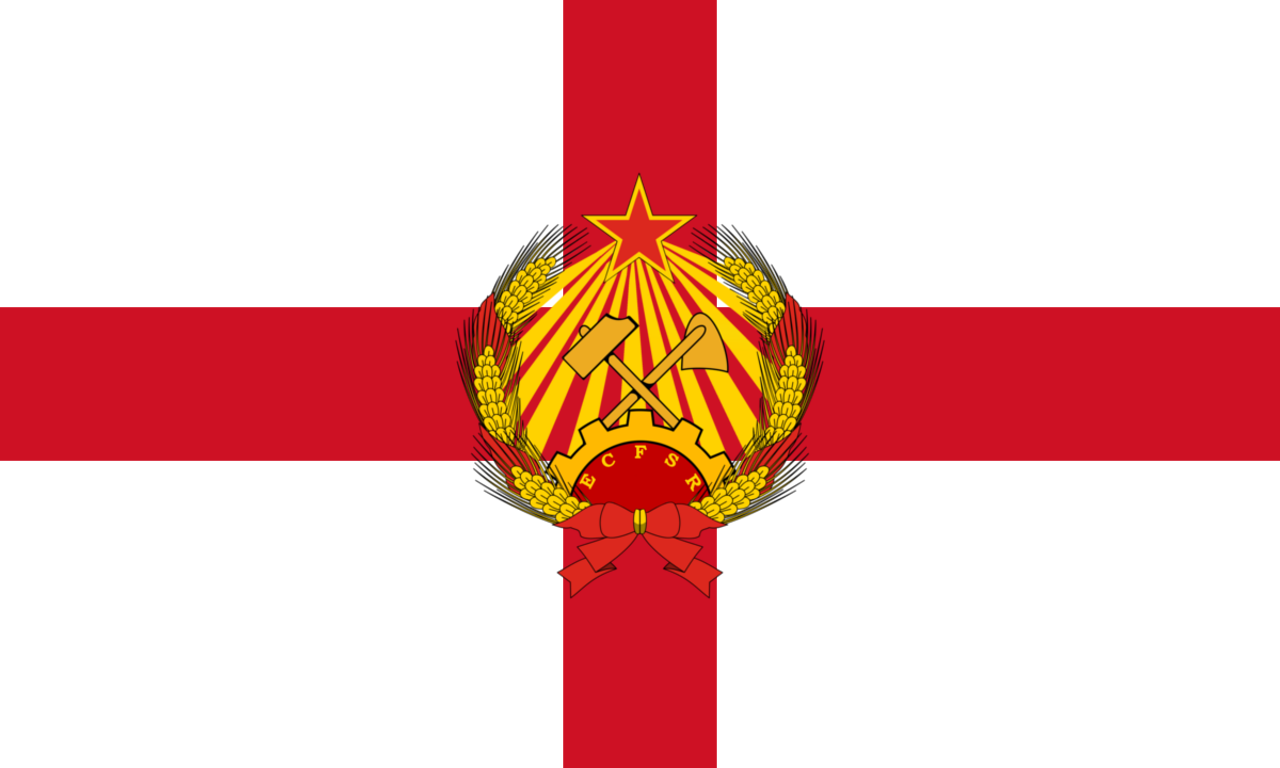
Federation of Chartist Socialist Republics |
||||||
|---|---|---|---|---|---|---|
|
||||||
| Motto: "United Forever in Friendship and Labour" | ||||||
| Anthem: "The Red Flag" | ||||||
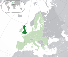
The Chartist Federation in the European Union
|
||||||
| Region | Commonwealth of Communist Countries | |||||
| Capital and largest city | London | |||||
| Official languages | English a | |||||
| Recognised national languages | Scottish Gaelic, Welsh a | |||||
| Recognised regional languages | Scots, Cornish | |||||
| Demonym | Chartist | |||||
| Government | Federal Socialist Republic | |||||
| - | Chairperson of the All-Union People's Assembly de jure President |
 Robert Griffiths PA (CPB) Robert Griffiths PA (CPB) |
||||
| - | Chairperson of the Council of Ministers de facto Premierb |
 Gawain Hicks CM (RPP) Gawain Hicks CM (RPP) |
||||
| - | Director of the United Front Central Committee |  David Yaffe PA (RCG) David Yaffe PA (RCG) |
||||
| - | Procurator of the Federation |  Charlie Kimber (SWP) Charlie Kimber (SWP) |
||||
| Legislature | People's Parliament | |||||
| - | Upper house | Council of Ministers | ||||
| - | Lower house | All-Union People's Assembly | ||||
| Foundation | ||||||
| - | British Revolution | 12th January 2015 | ||||
| - | Provisional Government | 17th February 2015 | ||||
| - | Declaration of the Chartist Federation | 1st May 2016 | ||||
| Area | ||||||
| - | Total | 229,767c km2 88,715 sq mi |
||||
| - | Water (%) | 1.30% | ||||
| Population | ||||||
| - | 2020 estimate | 62,262,000 | ||||
| - | Density | 255.6/km2 662/sq mi |
||||
| GDP (PPP) | 2020 estimate | |||||
| - | Total | £2.586 trillion | ||||
| - | Per capita | £41,535.50 | ||||
| GDP (nominal) | 2014 estimate | |||||
| - | Total | £3.037 trillion | ||||
| - | Per capita | £48,779.31 | ||||
| Gini (2014) | 0.243 low |
|||||
| HDI (2020) | 0.8929 very high |
|||||
| Currency | Chartist Pound ( CFP) (p) |
|||||
| Time zone | GMT (UTC+0) | |||||
| Date format | dd/mm/yyyy | |||||
| Drives on the | left | |||||
| Calling code | 44 | |||||
| ISO 3166 code | .CF | |||||
| Internet TLD | .cfb, .fcr | |||||
| a. | English is the official language of 5 Union Republics and is the official language of the State. English and Scottish Gaelic are official languages in Scotland, English and Welsh are official languages in Wales. English and Manx are official languages in the Isle of Man. The Regional languages of Scots and Cornish are protected by their local People's Communes. | |||||
| b. | The Chairperson of the Council of Ministers is known as the Premier due to their effective position as Head of Government | |||||
| c. | The land area given includes all 7 Union Republics, the Autonomous Union Republic and the City of London. | |||||
The Federation of Chartist Socialist Republics (also called the Chartist Federation, Britain, C.F., or F.C.S.R.) is a federal socialist republic comprising 8 Union Republics, one federal district and an Autonomous Union Republic. The country's capital is the City of London, governed as a federal district, is the largest urban centre in the region. Lying off the north-western coast of the European mainland, the country includes the island of Great Britain—a term also applied loosely to refer to the whole country-and many smaller islands, mostly to the North and West of Scotland. The FCSR does not share a land border with any other sovereign state.The FCSR is surrounded by the Atlantic Ocean to its west and north, the North Sea to its the east and the English Channel to its south. The Irish Sea lies between Great Britain and Ireland. The FCSR has an area of 88,715 square miles (229,767km2).


